
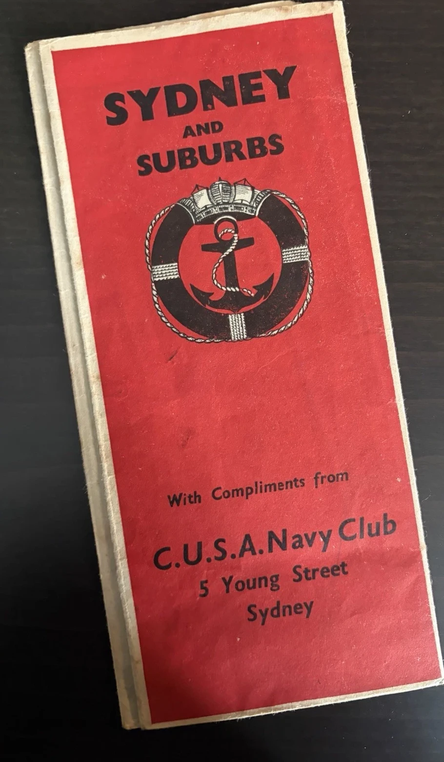
The first Sydney begins at a door. Number 5 Young Street stood near Circular Quay, close enough for the leaflet to use the harbour as its point of entry. Inside were meals, a canteen, church information, dancing and a city plan. A sailor could arrive without knowing the streets and be given an address from which the city might become manageable.
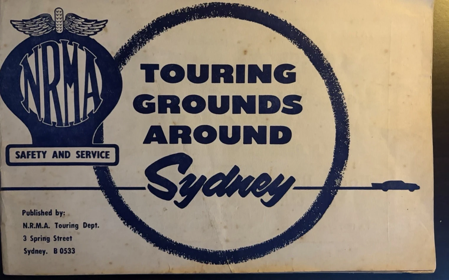
The second Sydney begins with a car already in motion. The winged NRMA badge sits beside a loop of dark ink; the title Touring Grounds Around Sydney runs through it, and a small vehicle continues towards the right edge. Open the booklet and Sydney becomes the starting point for Windsor, Richmond, the northern beaches, the Blue Mountains and a sequence of day or weekend circuits.
These are not competing surveys of one metropolis. Each edits the same region for a different uncertainty. The club leaflet answers the newly arrived naval visitor. The motorists’ book assumes a resident or member who knows where the city is and wants to decide how to leave it.
An address behind the harbour
The club text is unusually specific about its institution. It says that the C.U.S.A. Navy Club was opened by Rear Admiral J. C. Crace on 16 October 1941 and describes it as a centre for naval personnel. The initials stood for the Catholic United Services Auxiliary. A letter printed in The Navy in 1948 likewise gives the Young Street address and recalls the club’s wartime foundation by women of the Auxiliary.
Another line fixes the surviving leaflet later than the opening date. “A cordial welcome is extended to all men of the British Pacific Fleet.” That fleet was formed in November 1944, and Sydney became its home port early in 1945. The booklet therefore belongs to that later service context, even though it preserves 1941 as the date of the club itself. A founding date printed inside a guide is not automatically the printing date on its cover.

The page also names what it cannot supply alone. Its acknowledgement thanks the Department of Road Transport and Tramways and the Gregory Publishing Company for help in compiling the guide. The city is not being described by one voice. Club knowledge, transport information and commercial cartography have been folded into a single handout.
The useful city is close to the water
The compact plan stretches from Port Jackson to Central Station. Sydney Cove and Circular Quay occupy the top; Darling Harbour holds the left side; Hyde Park and the Domain steady the right. A grid makes the directory possible, and the C.U.S.A. Club is marked near the harbour at G10. The sheet openly states that the plan is not to scale. Its authority lies in selection rather than survey precision.

The omitted parts are as informative as the included ones. This is not a visitor panorama of every beach and suburb. The adjoining directory privileges service clubs, hostels, churches, railway stations, museums, public buildings and recreation rooms. Its Sydney is a network of places where an unfamiliar sailor could eat, sleep, worship, wait, ask for help or find the next mode of transport.
Even the order of the directory has a social logic. The Navy Club appears before Government House or the museums, and other service centres are listed beside ordinary civic destinations. A landmark is valuable here not because it is picturesque but because it can steady the next instruction. Young Street, Circular Quay and the numbered grid turn a large city into a succession of short, answerable questions: which block, which building, which walk from the water?
The proposed quayside station is still shown rather than the Circular Quay railway station completed in the 1950s. That is consistent with the leaflet’s 1940s setting, but it should not be asked to date the issue to one exact month. Public works remain proposed on maps for varying lengths of time; the British Pacific Fleet wording is the firmer chronological clue.
Behind the street plan, a suburban field
A much broader sheet unfolds behind the pocket plan. Gregory’s Map of Sydney & Suburbs reaches from Mona Vale to Cronulla and from the Pacific coast towards Liverpool and Windsor. Black main roads cross a quieter street mesh; red numbers indicate mileages and railways hold the centre together. Sydney Harbour is no longer simply the arrival edge. It is the blue hinge within an expanding urban region.

At the foot, the Australian Guide Book Company and Clive Barrass receive the printed credit. Sydney map publishing in this period was a close commercial world: the Powerhouse collection records H. E. C. Robinson’s role in early NRMA strip maps and in the formation of Gregory’s Guides and Maps. That history explains a network of makers; it cannot establish that the NRMA booklet and this club copy were issued together.
Several handwritten marks cross the broad map. One sits near the western edge, another beside Bondi, and a green word appears near Bate Bay. They establish that somebody used the sheet after printing. They do not name that person, date the journeys or show that a sailor rather than a later owner made them. Their proper place in the description is visible and unresolved.
The city releases the motorist
The NRMA booklet works in the opposite direction. Its preface says that the larger part contains selected round tours, supported by detailed road maps and feature maps. It advises readers to obtain current road-condition reports before setting off. Here a printed route is not treated as timeless truth; it is a proposal that must be checked against the road on the day.
The surviving copy calls itself the twentieth edition but shows no publication year in the supplied photographs. Its typography, telephone number and advertisements suggest a mid-century issue, while comparison records range too widely to justify a single date. “Undated twentieth edition, probably from the late 1940s or 1950s” keeps the useful estimate attached to its uncertainty.

Tour 9 totals 99.3 miles. Penrith, Springwood, Hawkesbury Lookout, Yarramundi, Richmond, Windsor, Kellyville, Castle Hill and Epping appear as successive points before the route returns to Sydney. Attractions and road directions sit beside the map. The city is both origin and destination, while almost the whole narrative takes place beyond its centre.
Driving reorganises distance as well as attention. The club plan measures the city in blocks and grid references; the touring page measures a day in miles, turns and named stops. Its small diagram can remain schematic because the prose takes over at every junction. Map and directions divide the labour between recognition and action, much as the club directory and street plan do—only the expected speed has changed.
A map can define a touring ground
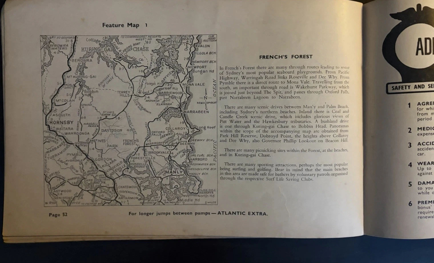
Feature Map 1 does not draw a closed circuit. It opens the northern country between Hornsby, Palm Beach, Manly and the upper harbour, then lets the adjacent text describe scenic drives, beaches, picnic places and sporting attractions. Roads are chosen according to the leisure they can reach. “Touring ground” is therefore more than a poetic title; it is a region made coherent by the motor journey.
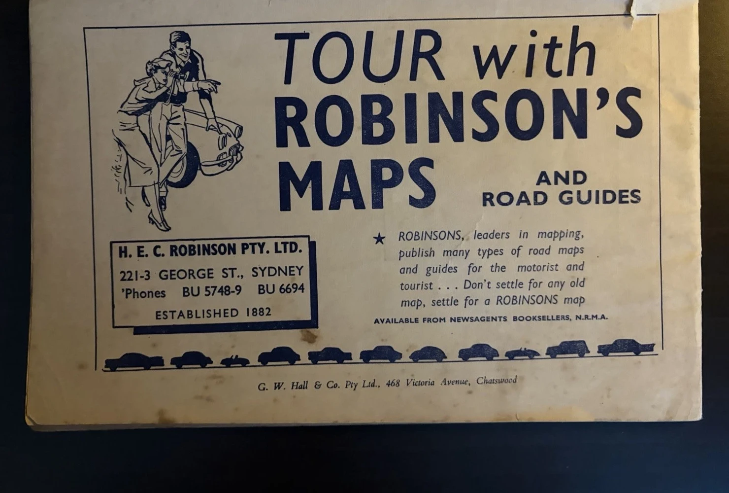
Commercial copy enters without disguising itself. Atlantic slogans run along the route pages; the rear panel announces Robinson’s maps and road guides with a pointing couple, a car and vehicle silhouettes. The printer’s name, G. W. Hall & Co. of Chatswood, sits underneath. These are not interruptions to a pure map book. Petrol, maps, guide publishing and touring all belong to the same paper economy of movement.
The club leaflet and the NRMA guide finally meet at the fold. Both compress a wide Sydney into something carried and reopened. Both show tears, softened edges, spotting and repeated creases. Yet their centres of gravity remain different. The naval leaflet helps a newly arrived sailor move between the harbour, club and city services. The NRMA booklet assumes a motorist already based in Sydney and directs that reader outwards along touring routes.
Placed together, they do not reveal two different cities so much as two definitions of usefulness. Sydney can be the few blocks between a quay, a club and a railway station. It can also be a launch point for a 99-mile circuit. Geography stays put; the expected body changes—from sailor on foot to member behind a wheel—and the map changes its attention accordingly.
Objects and source note
The two objects examined here are the photographed C.U.S.A. Navy Club Sydney and Suburbs guide and the NRMA Touring Grounds Around Sydney twentieth edition. Wording, map content, credits, annotations and the description of physical state derive from these copies. No shared owner or common journey is proposed.
The 1948 issue of The Navy, the Sea Power Centre’s account of the British Pacific Fleet in Sydney and City of Sydney records establish the club setting. Powerhouse documents the connected Sydney map trade. The NRMA’s modern annual report recalls its early use of guides and motor camps; it cannot supply a year for this booklet. The twentieth edition therefore remains approximate until a matching catalogue record or dated advertisement can fix it more closely.