
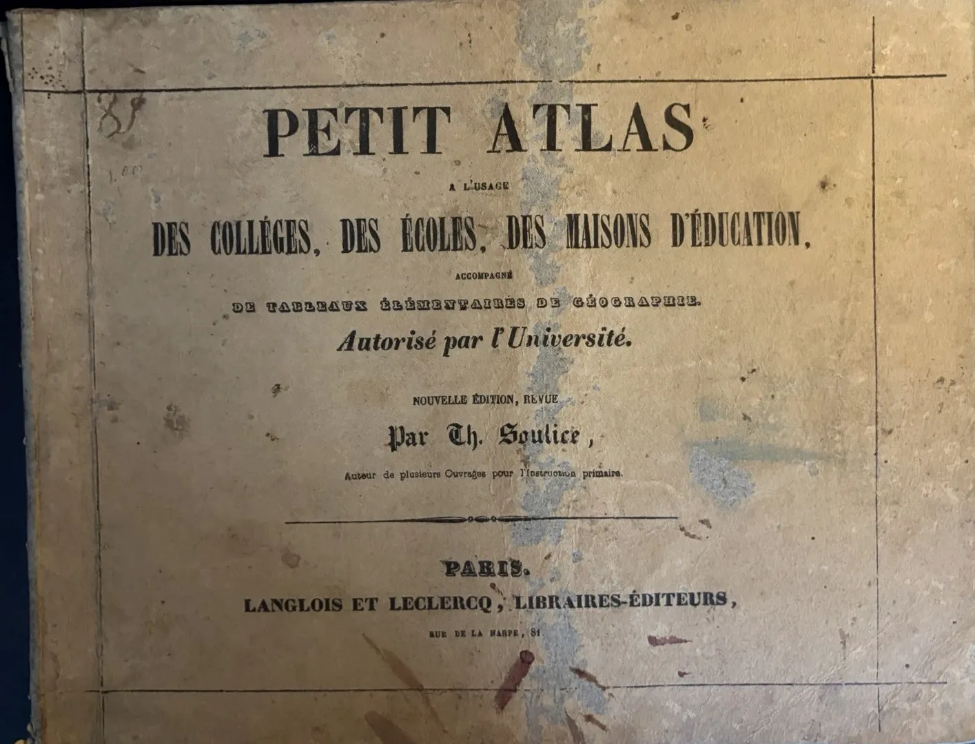
I am always interested in the moment when a map stops being a picture and becomes a lesson. This little French atlas makes that change unusually visible. It is not a grand reference book intended for a library shelf. Its title page says it is for colleges, schools and houses of education, accompanied by elementary geography tables. The promise is practical: a child can be given a world, divided into pages small enough to handle.
The object is listed as the Petit Atlas Soulice, associated with Théodore Soulice and Langlois et Leclercq in Paris. I use the date cautiously. An old inscription appears to record 1847, which is evidence of use or ownership rather than a printed publication date. A classroom copy often carries the date of the child who handled it, not the date when the plates first left the printer.
A curriculum in eight plates
The sequence is the real subject. Eight coloured maps move from the general shape of the world to continents and regions, with facing tables that turn place names into categories to memorise. The colour is restrained rather than decorative. Boundaries are picked out, coastlines remain legible, and the printed information is allowed to do most of the work.
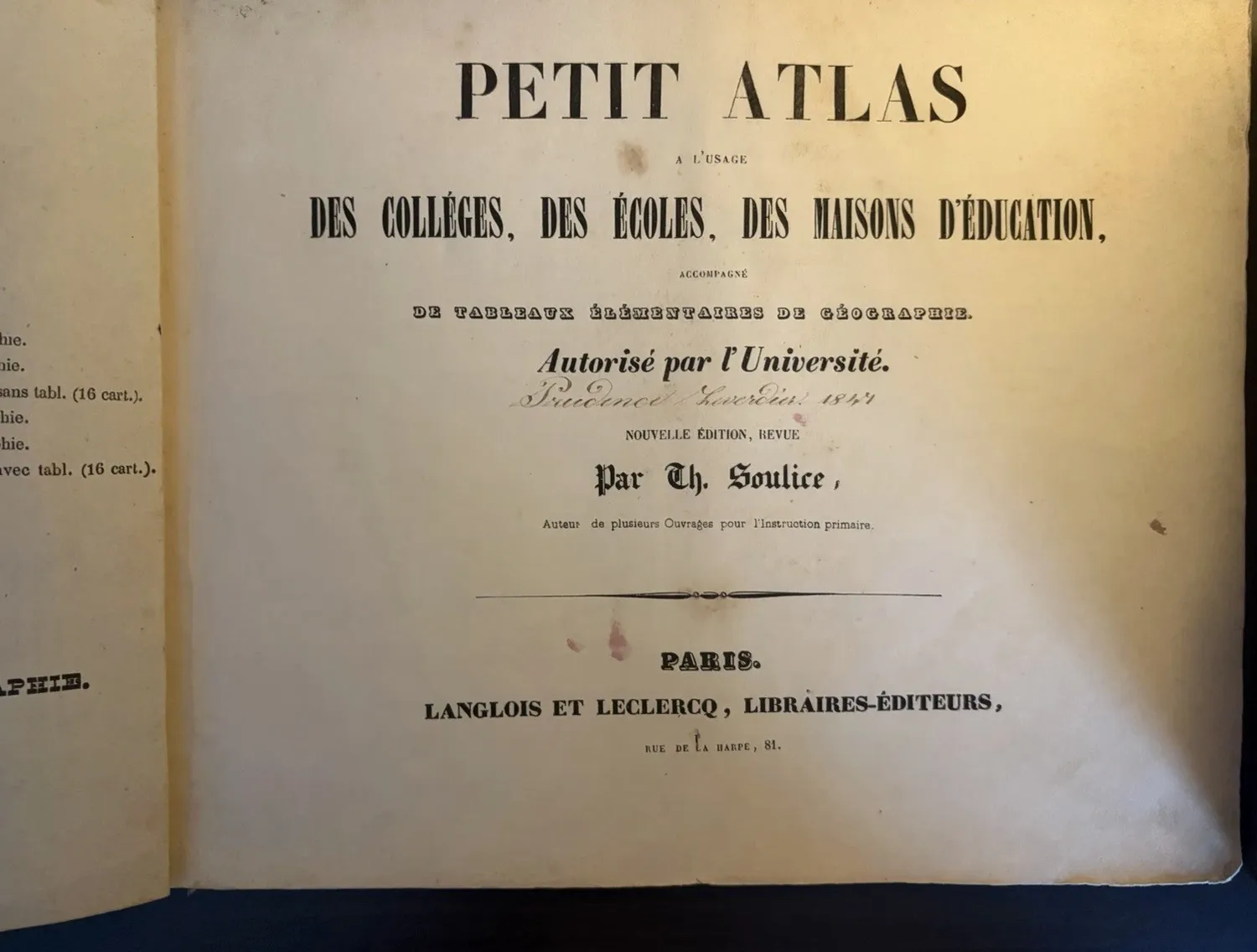
What I find most persuasive is the way the maps are accompanied by elementary tables. A map alone can invite wandering; a table tells the pupil what kind of answer is expected. The atlas teaches looking, but it also teaches sorting. Countries, regions, peoples and physical features are made to sit inside a repeatable school exercise.
When the world meets the heavens
The mappemonde is the page that first caught me. Two hemispheres sit like a pair of lenses, with the armillary sphere below and diagrams of eclipses, the solar system, lunar phases and the seasons arranged around it. The page does not separate geography from astronomy. It presents them as neighbouring explanations for the same question: how is the world placed, and how does it move?
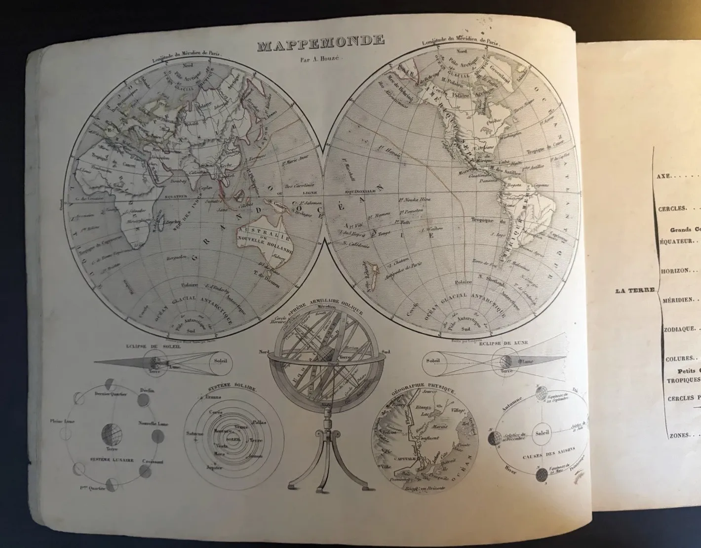
I do not pretend to read every diagram fluently. My partner, who is an engineer, is more comfortable with the logic of a system laid out in parts. Talking it through made me notice that the plate is not simply showing off scientific imagery. Each small figure gives the pupil a way to connect an abstract term to a visible arrangement.
Reading an atlas as a used object
The worn boards, foxing, waviness and handling marks are part of the evidence. They suggest an atlas that was opened repeatedly, perhaps on a desk where a map had to be found quickly. I prefer not to turn that suggestion into a fictional classroom scene. The object does not tell us who sat beside it. It does tell us that its pages were designed to be consulted, compared and returned to.
Completeness is therefore more than a collector’s checklist. To check that the eight plates are present is to preserve the sequence that made the atlas educational. A detached map can be beautiful, but it cannot show how Soulice’s small world was assembled: title, table, continent, world, and the passage from one scale of knowledge to another.
Source note: This editorial is based on the photographed copy of the Petit Atlas associated with Théodore Soulice and Langlois et Leclercq, Paris. The c.1847 date is treated cautiously because the visible date is an ownership/use inscription. Object details and condition are taken from the photographs and listing evidence. The photographed copy is listed as c.1847 Petit Atlas Soulice French School Geography 8 Coloured Maps.