
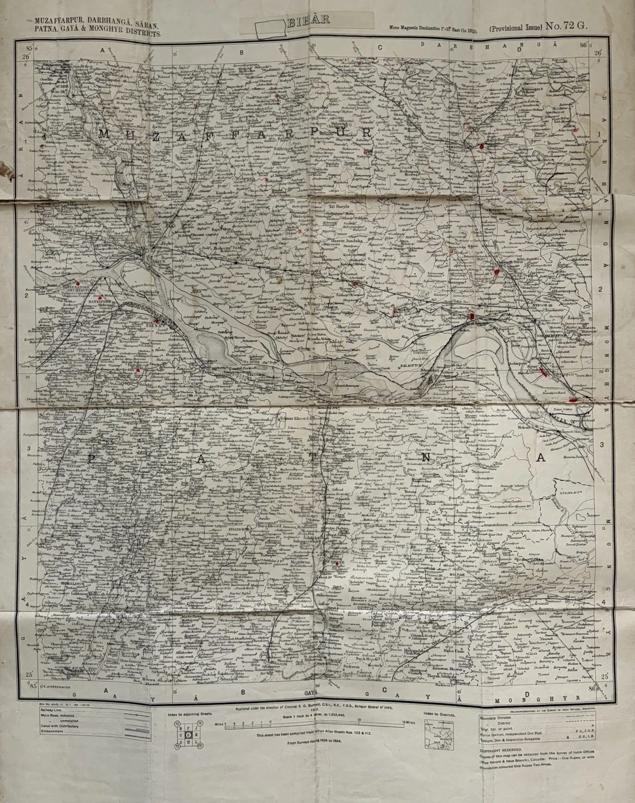
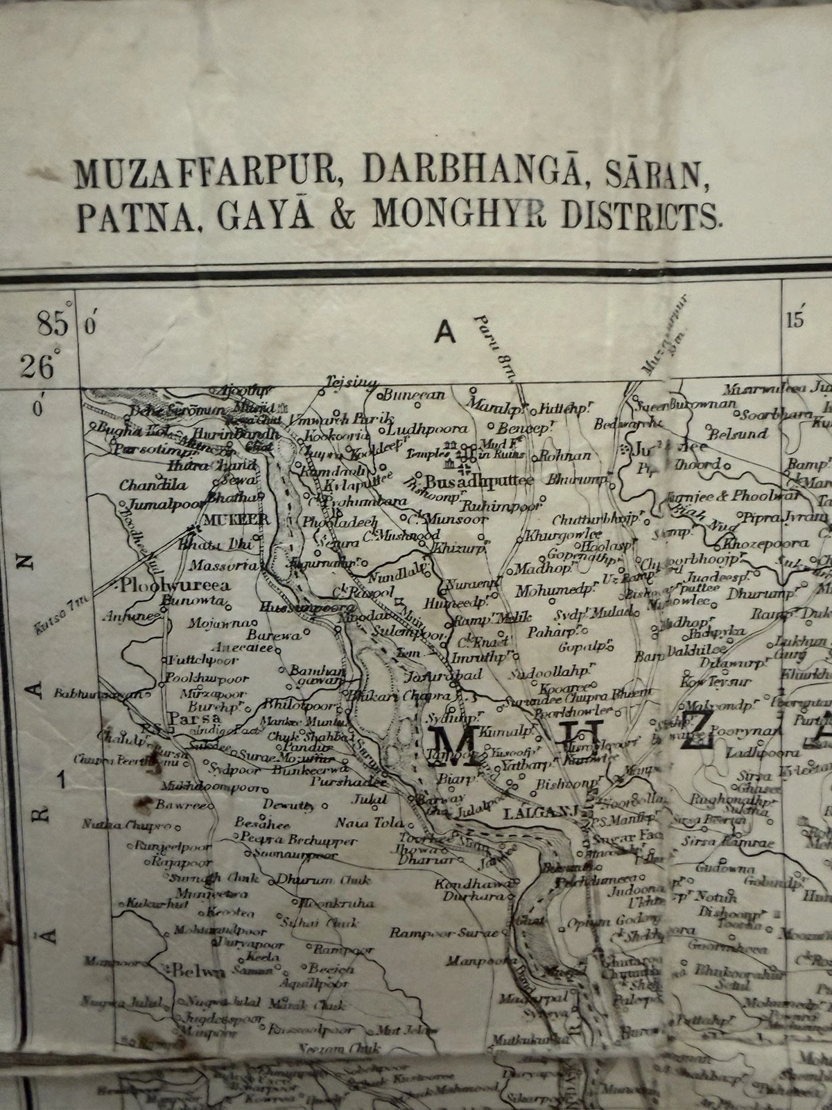
There is a moment with an old map when it stops being a picture of a place and becomes a thing in its own right. It may be the first time one notices the folds, or the faint change in paper where a hand has opened it more often than elsewhere. With this Survey of India sheet, listed as a 1912 map of Bihar, the moment came before I had tried to follow a single route. It was in the title: a long line of district names—Muzaffarpur, Darbhangā, Sāran, Patna, Gayā and Monghyr—set with an authority that is both impressive and, from the present, unmistakably historical.
Maps ask to be read at two distances. From across a room, their ordered fields of line and lettering have a graphic force of their own. Close up, they become crowded with choices: what to name, what to omit, how to divide a place, which route deserves a heavier line, where the boundary is drawn. An old map is not the past laid flat. It is a working argument about a place, made at a particular time for particular purposes. That is what makes them such absorbing objects to handle.
This sheet is a useful place to begin because its physical form keeps the whole question in view. It was made to fold, to be carried and consulted, and it is linen-backed. Its surface retains the evidence of that life. The creases do not sit outside the map as damage one must look past; they are part of the object’s history. The linen backing and worn folds show that the sheet was repeatedly opened and retained.
Begin with what the map calls itself
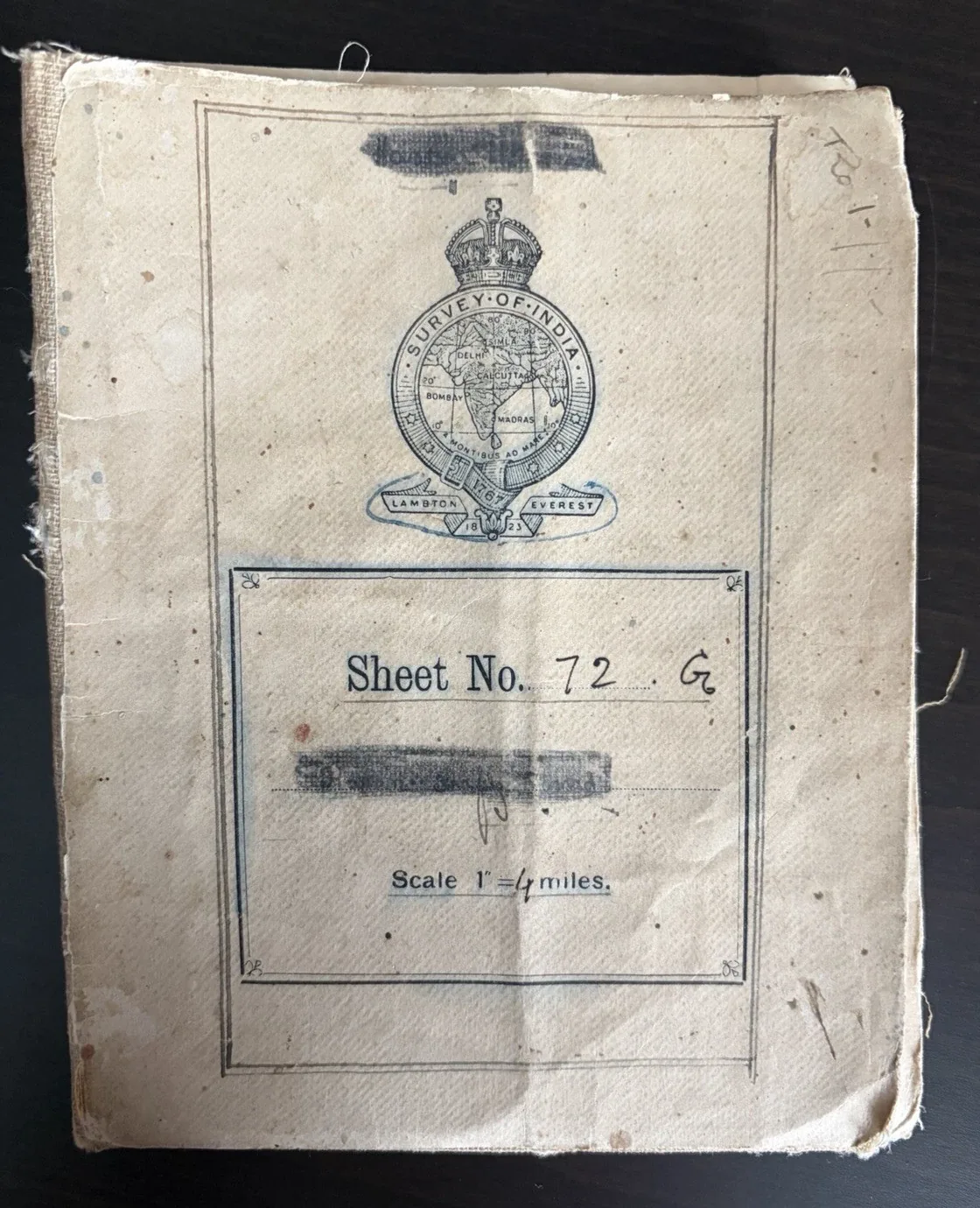
The quickest way to flatten an old map is to call it simply “a map of India” or “a map of Bihar”. The title panel usually gives a more exact answer. Here, the district names form the map’s public identity, while the cover identifies it as Survey of India, Sheet No. 72 G. Those details tell us that this was one sheet within a larger system rather than a self-contained decorative view.
That distinction matters to a collector. A sheet number may lead to adjoining maps, later editions and a wider index. A publisher or surveying body can suggest the intended authority of the document, but should never be treated as a guarantee that its language is neutral. Names and administrative divisions belong to the moment in which a map was made. They are historical evidence, not final definitions of a place or its people.
Read the date and scale as clues
A date on a listing is helpful, but the sheet itself often asks for a more patient reading. On this example, the magnetic-declination note refers to 1913, while the sheet also carries a provisional-issue designation. There is no need to force every clue into one neat date. Maps are made from surveys, compiled from earlier material, revised, printed and sometimes reissued. The more useful question is: which date describes which stage of the object’s life?
The scale is equally revealing. This map states one inch to four miles. It is large enough to give roads, rivers, settlements and administrative information a real density, but it cannot contain everything. Scale is therefore not a technical footnote. It explains the character of the view. A small-scale national map makes broad connections; a larger-scale sheet allows a reader to linger over local relationships, which is why it can feel almost inexhaustible when opened out.
The margin is part of the map
Collectors often look first for the central image, but the edge of a map may be where its most useful information waits. The border here holds the sheet reference, a gridded framework, a scale, an index to adjoining sheets and publication information. There is even a compact key in the lower margin. These quiet printed areas answer the practical questions that the central geography cannot: how the sheet belongs to a series, how a reader was expected to orient themselves, and what sort of information the symbols were meant to convey.
It is also where one begins to see the map as a document of administration. The large district title and the fine divisions within the sheet are not merely descriptive. They arrange a complex landscape into a legible form. That is an achievement of draughtsmanship and surveying, but it is also a reminder that mapping and governance have often travelled together. Looking closely should make the object more interesting, not make us less alert to the power within its language.
Follow routes, rather than merely looking at them
Once the title and scale have been established, the eye can begin to move. On a dense sheet, a river, road or railway is not just a feature to identify; it is an invitation to trace a relationship. A route connects settlements, crosses a boundary, follows terrain or refuses to. In doing so it turns the map from a catalogue of names into a picture of movement.
There is a particular pleasure in this slow form of reading. One begins at a known name, follows a line until it breaks or changes character, then notices another settlement close by that seemed invisible from a distance. The pleasure is not in pretending the map offers a complete world. It is in realising how much thought has been compressed into a sheet of paper: lines thickened or thinned, lettering sized according to a hierarchy, symbols repeated so that a trained reader can make sense of a great deal at once.
Let condition tell part of the story
With paper ephemera, condition is never quite separate from use. This sheet has the wear one expects of an object that was folded and handled. Linen backing has helped it remain structurally present, while the fold lines still describe the original rhythm of opening and closing. For a collector, the right response is not to declare every mark either a defect or a virtue. It is to identify what it is: a tear, a stain, a reinforcement, a pencilled note, a trace of handling—and then decide how that evidence affects the object as a whole.
That is why I find old maps so rewarding. They contain the visible subject of the map, but also the story of the map as a made and used thing. The more one looks, the more each small element—the title, the key, a border, a fold—begins to carry weight. A map does not become less beautiful when we read it critically. It becomes more human: a record of knowledge, labour, movement and the choices made in bringing a particular view of a place into the hand.
A five-part way to begin
When an unfamiliar map arrives, I now try to begin in the same order: first its title, maker and sheet number; then its dates and scale; then its borders and key; then the routes and features that lead the eye through the geography; and finally the folds, marks and condition. It is not a complicated method, but it changes the experience of looking. What initially appears to be a single image becomes a series of clues.
This Bihar sheet, with its formal title, tiny settlements and well-used folds, is a fine reminder of why map collecting can be so compelling. It does not ask to be glanced at. It asks to be unfolded, read slowly and returned to.
Bibliographical note
This editorial focuses on a linen-backed Survey of India Sheet No. 72 G, titled for the districts of Muzaffarpur, Darbhangā, Sāran, Patna, Gayā and Monghyr, and listed by RUSTY PECHA as a 1912 map. The observations above are based on the copy itself and its visible printed details. For context on the survival and study of such records, the National Archives of India describes its Survey of India cartographic holdings, including printed and published maps; the UK National Archives’ guide to maps and plans is also a useful introduction to reading maps as historical records.